Recent Purchase
kpq***
Model Number:R10;
$9549.78
45 days ago
ocq***
Model Number:R10;
$12733.04
28 days ago
uhc***
Model Number:R10;
$4774.89
38 days ago
wsx***
Model Number:R10;
$11141.41
32 days ago
bup***
Model Number:R10;
$7958.15
32 days ago
hhk***
Model Number:R10;
$4774.89
41 days ago
gqa***
Model Number:R10;
$6366.52
24 days ago
itz***
Model Number:R10;
$6366.52
40 days ago
zsw***
Model Number:R10;
$1591.63
3 days ago
blz***
Model Number:R10;
$7958.15
34 days ago
View All
Customer Reviews
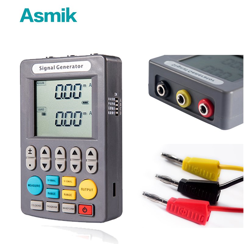
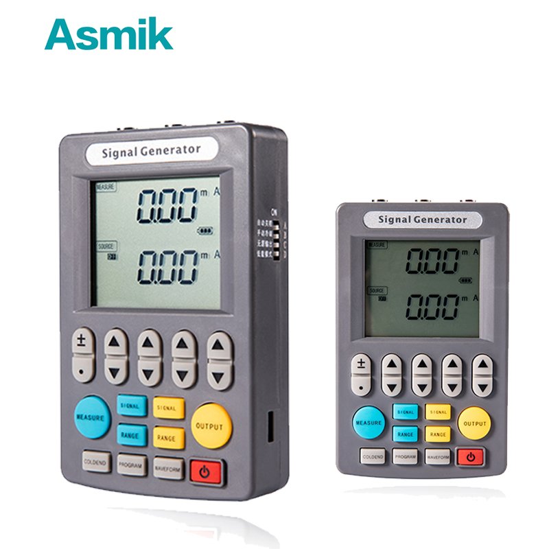
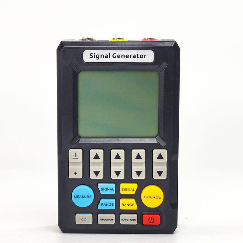
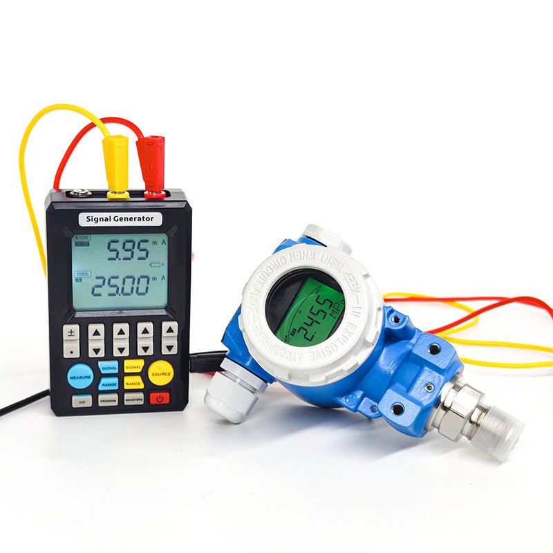
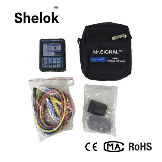
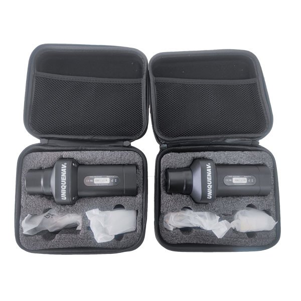
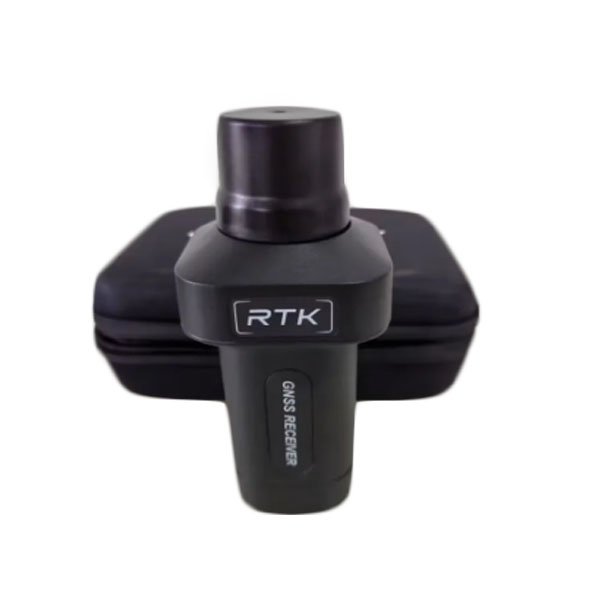
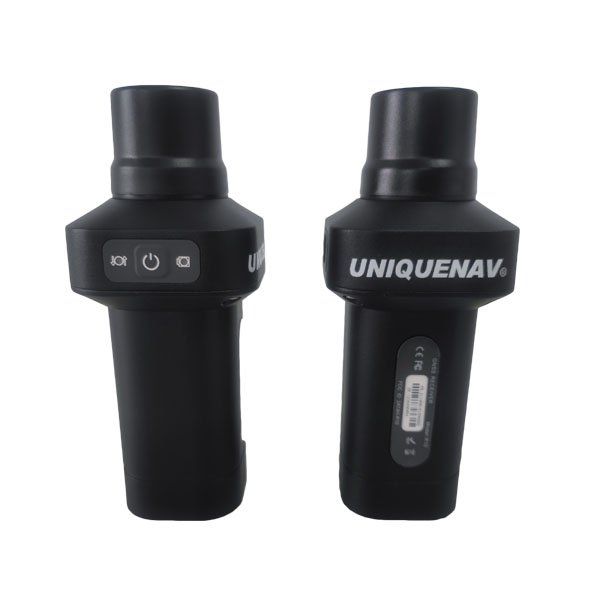
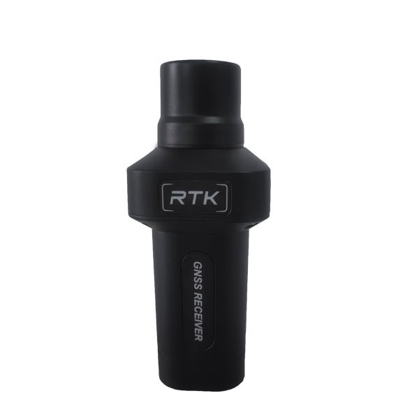
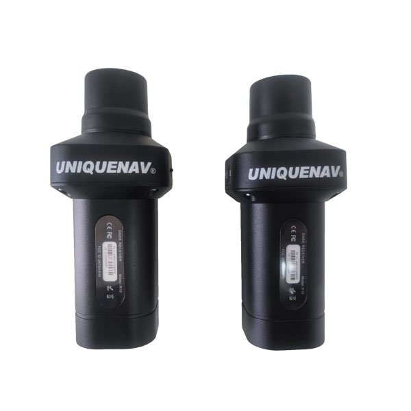
1408 Channels With IMU Tilt Survey Equipment Handheld Gnss Receiver R10
$1200$1591.63-24.61%
Model Number:
R10
Quantity:
Add to Cart
Wishlist
Features
1408 Channels With IMU Tilt Survey Equipment Handheld GNSS Receiver R10
High-Precision Dual-Frequency GNSS
– Supports 1408 channels for ultra-fast signal acquisition and centimeter-level accuracy, ideal for land surveying, construction, and precision agriculture.
Integrated IMU Tilt Compensation
– Built-in inertial measurement unit enables accurate positioning even at angles up to 30°, eliminating the need for perfect leveling and boosting fieldwork efficiency.
Rugged Industrial-Grade Design
– Features an IP67-rated waterproof and dustproof housing with reinforced rubberized grips for durability in harsh environments.
Long-Lasting Battery & Fast Charging
– Equipped with a 4500mAh removable battery for 12+ hours of continuous operation, plus USB-C fast charging for minimal downtime.
Multi-Constellation Compatibility
– Works with GPS, GLONASS, Galileo, and BeiDou for reliable global coverage in urban canyons or remote areas.
Real-Time Data Transmission
– Supports Bluetooth, Wi-Fi, and 4G for seamless connectivity with mobile devices and cloud-based mapping platforms.
Lightweight & Ergonomic
– Weighs only 1.2kg with a slim profile for single-handed operation during prolonged surveys.
Wide Application Scenarios
– Perfect for cadastral mapping, drone photogrammetry, forestry management, and infrastructure monitoring.
Plug-and-Play Flexibility
– Compatible with major surveying software (e.g., ArcGIS, Carlson) and includes a modular mounting system for tripods or poles.
Global Warranty & Bulk Discounts
– Backed by 2-year international coverage, with exclusive wholesale pricing for large-quantity orders.
See More