Recent Purchase
View All
Customer Reviews
Average Rating
5.0
5.0
2 global ratings
5 star
100%
4 star
0%
3 star
0%
2 star
0%
1 star
0%
All Reviews
Image
Recommend
Recent
1***m
Helpful (2)
Cute clothes at reasonable prices! Easy to use app with fast delivery.
May.18.2024
Helpful (2)
May.18.2024
1***m
Helpful
The packages come on time and sometimes before the date it’s supposed to which is great ! Everything always comes neat and packages well !! Literally love OKWISHING !
Aug.17.2024
Helpful
Aug.17.2024
- 1
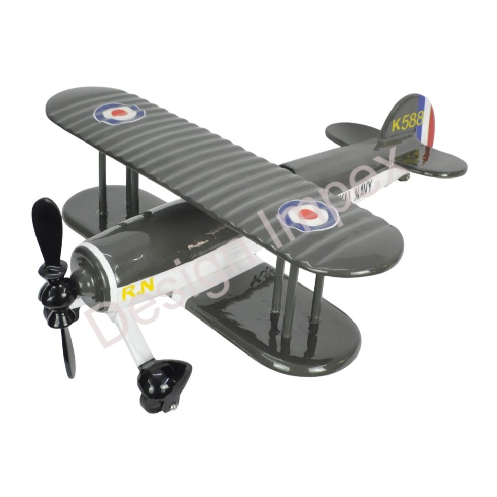
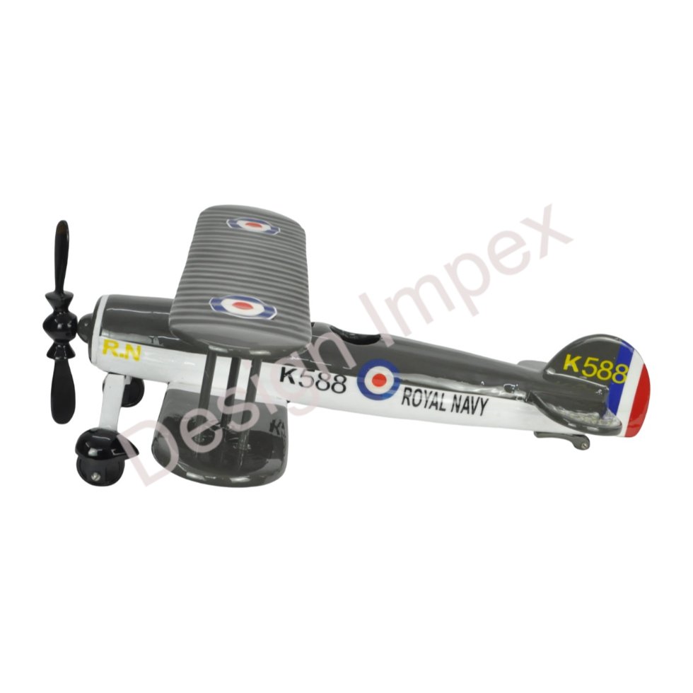
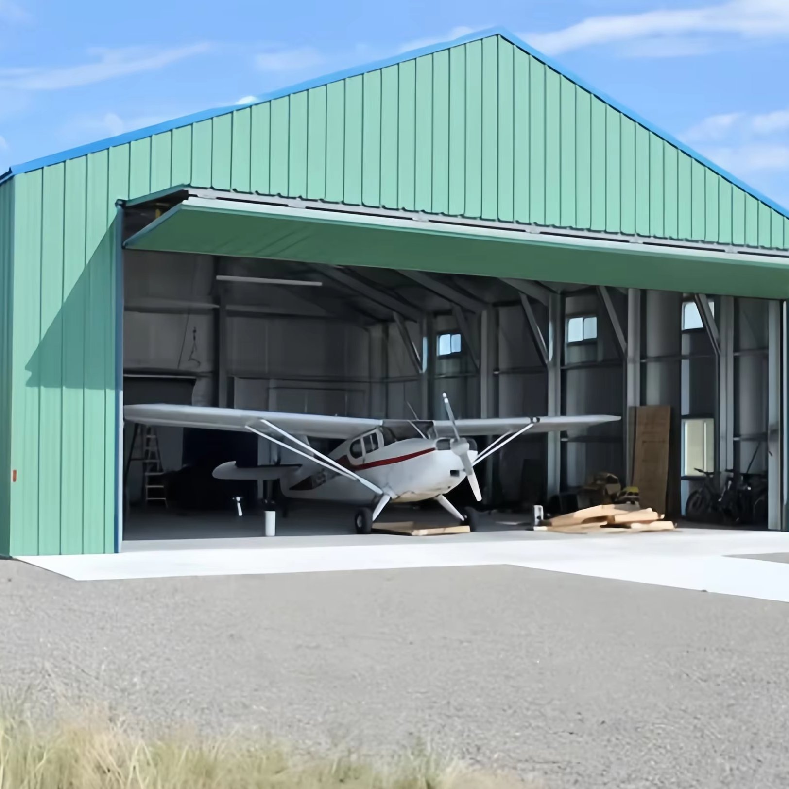
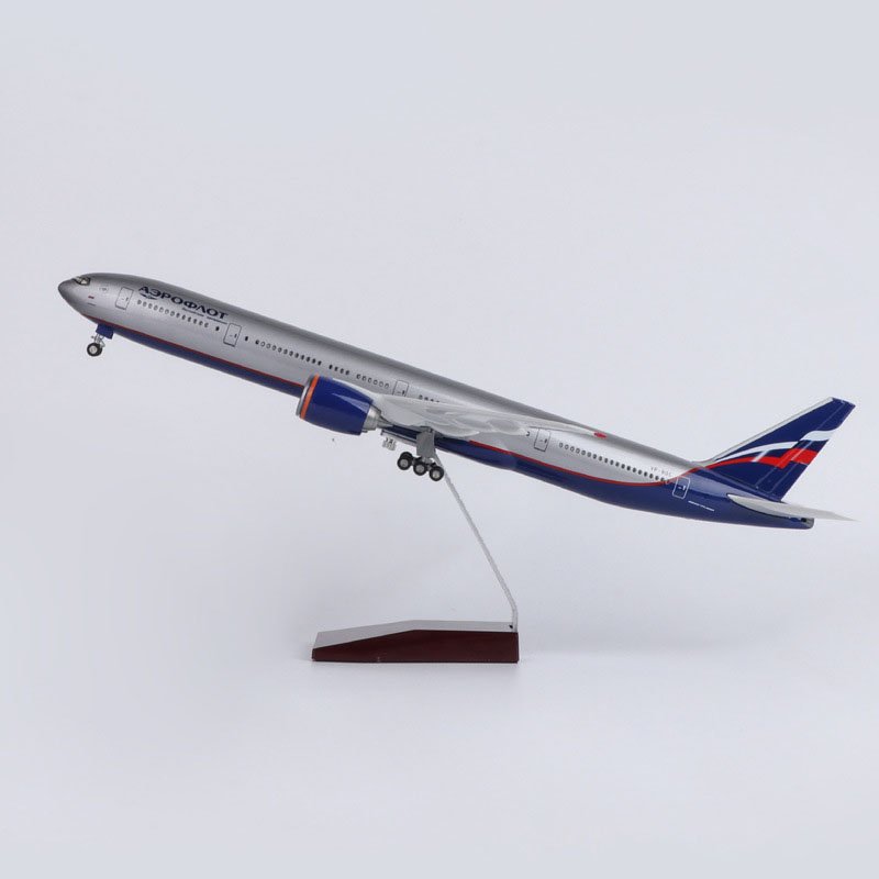
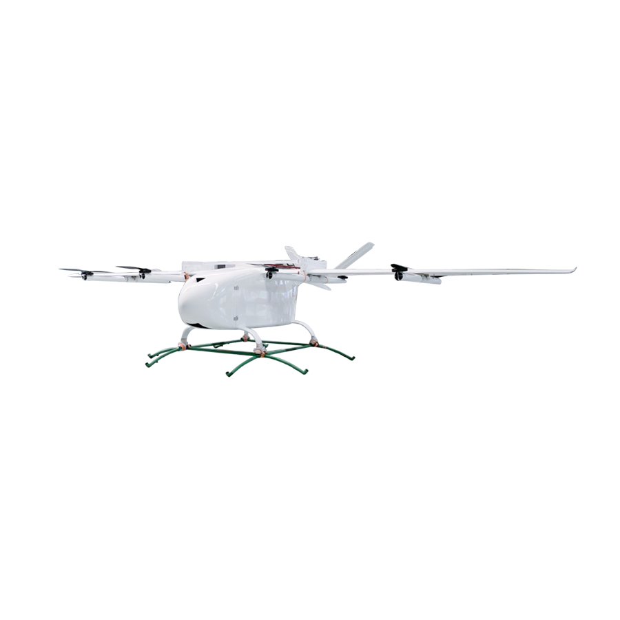
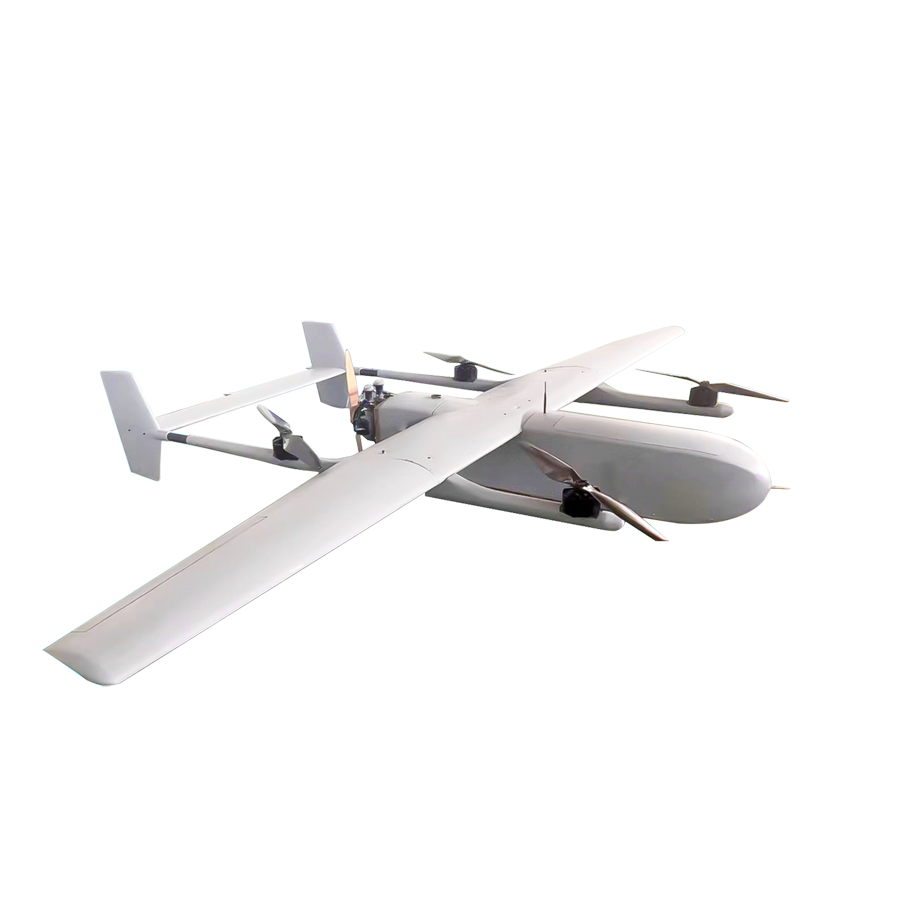
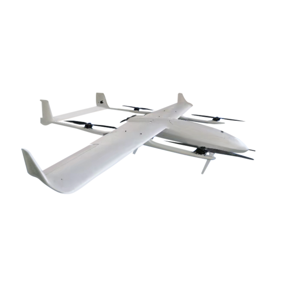
Customized Fixed Wing UAV long range,The best fixed-wing drones for serious mapping projects
$13498.5
Model Number:
Xunfei D
Color:
Black
Quantity:
Add to Cart
Wishlist
Features
High-Precision Custom Fixed-Wing UAV for Professional Mapping
Ultra-Long Flight Range – Engineered for endurance with lightweight composite materials, achieving extended mission durations for large-area surveys. Professional-Grade Mapping – Equipped with high-resolution cameras and advanced stabilization, delivering centimeter-level accuracy for topographic, agricultural, and infrastructure projects. Modular Customization – Tailor payloads (multispectral, LiDAR, etc.) and wing configurations to fit specialized industrial applications like forestry, mining, or disaster assessment. Durable Aerospace Construction – Reinforced carbon-fiber frame and weather-resistant coatings ensure reliability in harsh environments. Efficient VTOL/Hybrid Launch – Optional vertical takeoff eliminates runway dependence, ideal for remote or confined operations. Seamless GIS Integration – Compatible with major mapping software (Pix4D, DroneDeploy) for real-time data processing and analytics. Bulk Order Optimization – Exclusive wholesale pricing for enterprise fleets, reducing per-unit cost for large-scale deployments. Ideal for surveyors, civil engineers, and environmental researchers requiring scalable, high-efficiency aerial data solutions.
See More